Professional Drone Surveys & Visual Documentation for Infrastructure Projects
Aerial Survey & Commercial Photography for Infrastructure Projects”
About This Service
At Fusion Studio Patna, we provide expert drone survey, aerial photography, and video documentation services tailored for infrastructure and construction projects across India.
From metro lines and highways to industrial sites and bridges, we have worked with renowned organizations like NCC, AFCONS Infrastructure, SPS Construction India Pvt. Ltd., DMRC Patna Metro, and Welspun India Limited, delivering accurate, high-resolution visual records used for project monitoring, compliance, and government submissions to NHAI, MoRTH, and other bodies.
Our Esteemed Clients
- AFCONS Infrastructure Ltd.
- NCC Limited
- SPS Construction India Pvt. Ltd.
- DMRC – Patna Metro
- Welspun India Limited
- Montecarlo Limited
- LNT Construction
- MS Salasar Techno Engineering Ltd
- KELLER GROUND ENGINEERING INDIA PVT. LTD
- Varanashi Aurangabad NH-2 Tollway PVT LTD
- Sparsh Engineering Company Pvt. Ltd
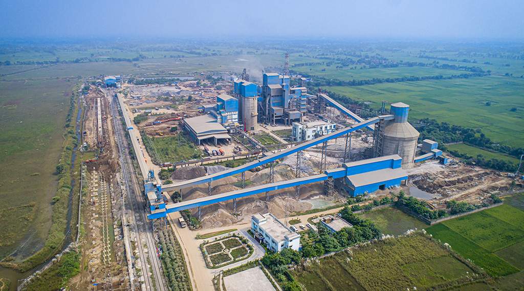
- Ultra Tech Cement Work
Project Highlights
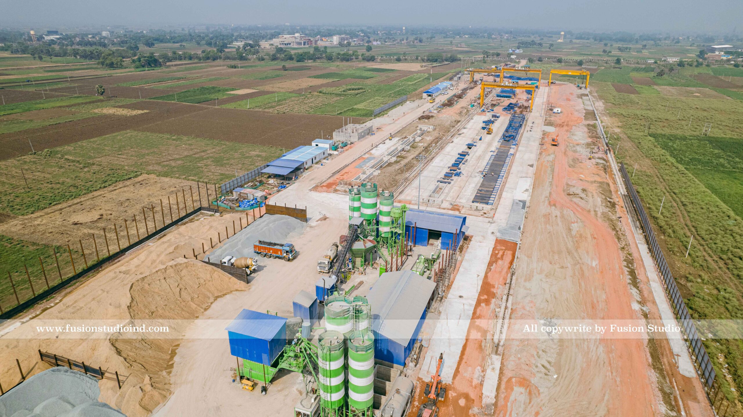
- NCC Limited – Patna Metro Survey
- Scope: Aerial drone survey & construction documentation
- Purpose: Monthly progress documentation and quality assurance reports
- Location: Patna, Bihar
- Media Delivered: 4K drone photos and videos
- SPS Construction India Pvt. Ltd. – MG Setu NH Flyover Project
- Scope: Drone footage of highway flyover development
- Purpose: Monthly progress documentation and quality assurance reports
- Afcons Infrastructure Ltd. – Kosi Bridge Project
- 🛠 Project Name: KBP-1332
- 📅 Coverage: Monthly Drone Photo & Video Documentation
- 📍 Location: Bhagalpur, Bihar
- Media Delivered: 4K drone photos and videos
- Welspun Enterprises Ltd NHI
- Welspun Enterprises Limited – Varanasi to Aurangabad Highway Project
- 📍Route: Varanasi (Uttar Pradesh) to Aurangabad (Bihar)
- 🛣️ Stretch Length: 192.400 Kilometers
- 📹 Coverage: Full-Stretch 4K Drone Video with GPS Tracking
- 📅 Frequency: As per milestone stages and reporting schedule